The Red Mountains

The Red Mountains and the destructive eruption of 1669

The 17th century was a very troubled period for populations on the slopes of Etna. In fact, in 1607 a very intense eruptive phase began, in which there was emission of lava flows with extremely high and unusual volumes (3 km3 in less than one hundred years, around three times the normal emission rate for Etna). Over the course of this century, there were not many eruptive events, but they were long in duration. The main eruptions occurred in 1607-10, 1614-24, 1634-38, 1646-47, 1651-53, 1669 and 1689.
As if high volumes and long periods were not enough, almost all these eruptions were lateral, coming not from the summit craters, but along radial fractures at altitudes between 2400 and 900 metres. Of these, the most important, known and remembered by the local people, was the 1669 eruption. There is almost direct evidence of this eruption thanks to stories collected by Wolfgang Sartorius von Waltershausen . The eruption began in mid-March 1669, with the opening of a fracture that spread from the summit craters to the town of Nicolosi in very few days. This is where the Strombolian activity began, with the formation of the present-day Monti Rossi, accompanied by high volumes of lava.
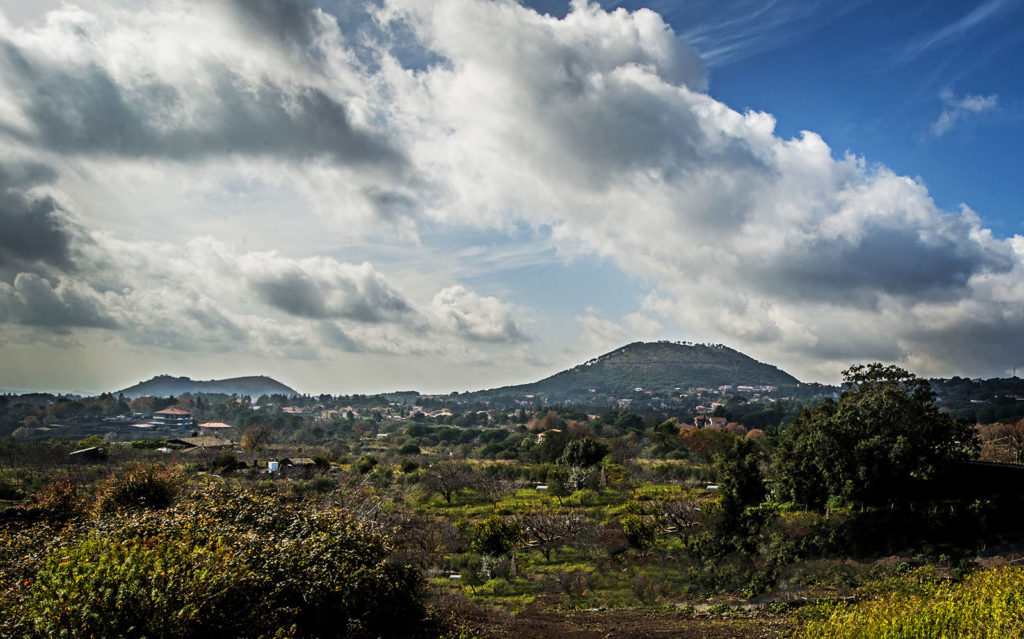
Monti Rossi oggi
In a few months, the lava, which had already started from a low altitude (around 1000 metres), reached Catania, covering almost half of the city, and the sea. It was the longest lava flow, around 17 kilometres, emitted by Etna in the last 15,000 years.
Finishing off the century was the devastating 7.4 magnitude earthquake in 1693, which completely razed Catania and most of Eastern Sicily to the ground.
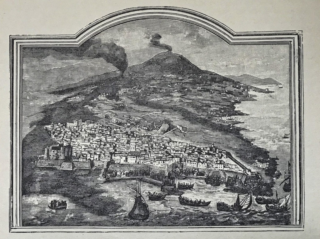
Litografia storica eruzione 1669 Mignemi

The Grand Tour in Sicily

The senses tell The Red Mountains

The earthquake that changed the geography of eastern Sicily in 1693

Acireale and reconstruction after the 1693 earthquake

Acireale and its “timpe”

The continuous evolution of the Etna summit craters

Torre del Filosofo: at the base of the summit craters (2950 metres)

The Jaci river

The Elliptical, the first great volcano of Etna

A fauna context yet to be discovered

The senses tell Val Calanna

The different names of the “Muntagna”

Summit crater activity between 2011 and 2019

The eruption of 1928 that destroyed the town of Mascali

Empedocles and his passion for Etna

Volcanic monitoring and eruption forecasting

The senses tell The Etna viewpoint

The senses tell Torre del Filosofo

The 2001 eruption of Mount Etna, where the approach to volcanoes changed

Etna, the living mountain

The senses tell Valle del Leone

The first Etnean volcanic events between Aci Castello and Aci Trezza

The senses tell Acicastello and Acitrezza

Why did Etna form in that specific geographical position?

Val Calanna, the first step towards a single large volcanic structure

An ever-evolving volcano

Etna: a marvellous group of microclimates and vegetation

Etna, an ever-changing natural laboratory

The 1669 eruption in Catania

Valle del Leone and the Elliptical

Humankind and the volcano: how should we behave? Volcanic risk

The senses tell The Summit craters

Lachea Island and the Aci Trezza Stacks

Etna, wine terroir of excellence

Malavoglia

The fault system of the “Timpe” of Acireale

The “notches” of snow

The Red Mountains and the destructive eruption of 1669

The senses tell Acireale

The Etna viewpoint